
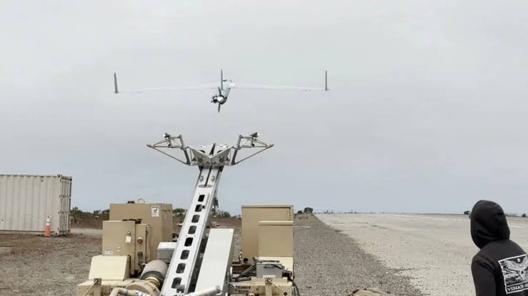
The ScanEagle drone flew near Southern California and reached its assigned waypoints using only cameras and motion sensors. The system was built by Rhoman Aerospace with the Naval Postgraduate School. During the test, satellite navigation and ground links were deliberately switched off to simulate a GPS-denied environment. Despite that, the drone stayed on course with less than 0.5% drift from its intended path. Instead of relying on satellites, the technology uses cameras, motion sensors and flight data to estimate where the aircraft is and where it is going. That is difficult over water, because unlike land, the ocean has no fixed landmarks. Waves, light changes and the moving surface make it hard for cameras to find stable reference points.
Rhoman adapted the system for maritime conditions by fusing camera images with sensor and telemetry data. It can work with or without preloaded maps. It also works with the Naval Postgraduate School’s CAVR autonomy system, which takes over flight control when GPS or communications are lost, allowing the drone to finish its mission alone. The next step is to fit the system to AeroVironment’s JUMP 20 drone, which can take off and land vertically. Future tests will check how weather and sea conditions affect accuracy. Researchers say the approach could give drones a reliable backup when GPS is jammed, spoofed or unavailable.
Source: Interesting Engineering