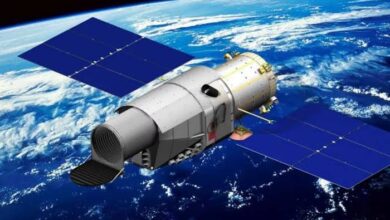


The Diting-01 satellites launched on Sunday aboard a Lijian-1 Y18 rocket from the Jiuquan Satellite Launch Centre. Nine satellites flew on the mission, with the three Diting spacecraft entering their planned orbit. China’s Chang Guang Satellite Technology startup built the satellites while StarRF operates the system. The startup wants to use the network to detect radio emissions across large areas from low Earth orbit. The approach has clear applications in tracking radio activity that may be difficult to locate from the ground. The three spacecraft can work together to determine where a radio signal originates.
According to Chinese news portal Guancha, each satellite receives the same transmission from a different position in orbit. The system compares the arrival times across the three spacecraft. That difference allows it to estimate the transmitter’s location. It can therefore locate a source without needing a receiver close to the emitter. The setup is particularly useful for signals that move across large areas. Space-based receivers can also observe regions beyond the reach of fixed monitoring stations. Diting is named after a creature from Chinese mythology.
The name refers to a beast said to identify things simply by listening. The satellites are intended to monitor electromagnetic activity rather than simply provide communications or imaging services. Their planned use covers a wide range of radiofrequency signals. StarRF launched in 2023, with a founding team that includes engineers from Tsinghua University’s Department of Electronic Engineering. Its members have also worked at Nokia, Qualcomm, and China Electronics Technology Group. The company plans to expand the three-satellite system into a 60-spacecraft constellation in low Earth orbit.
StarRF says it wants to sell electromagnetic spectrum data and analysis to customers across several industries. Those include defense, public security, radio management, shipping, rail and emergency response. The business model resembles a growing commercial market outside China. US-based HawkEye 360 launched its first three-satellite formation in 2018. Its systems locate radiofrequency signals for customers that include US defense and intelligence agencies. France’s Unseenlabs also tracks radio emissions from orbit.
Its early satellites focused on maritime signals before its second generation expanded coverage across sea, land and space. Radio-frequency monitoring has become closely connected to national security because the same data can serve civilian and military users. A system that locates a maritime transmitter could support commercial monitoring. Similar information could also help identify the position of a military emitter.